ANDRÉ BRETON CYCLING
  • Home
  • About
  • Services
    • Lifestyle Coach >
      • Coaching
      • Two Week Challenge
    • Adventure Guide
    • Guest Speaker
    • Mentor
  • Friends
  • Travelogues
    • Europa 360
    • Connecting My Grandfathers
    • Le Tour de Région Sauvage
    • Le Tour de Europe >
      • Gear List
      • In the Media
      • Podcasts
      • Concept, Intro, Chapters
    • Going Full Tilt
    • 7 Countries in 16 Days
  • Racing
  • Photo Gallery
  • More...
    • Touring History
    • Training Camps
    • Training Peaks & Strava
    • My Road To Leadville
    • Bike Shops
    • The Beginning
    • Contact
    • Archives >
      • Blog
      • Bikes, Components, Gear, Nutrition
LE TOUR DE RéGION SAUVAGE:
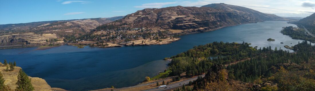
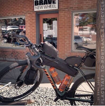
​FLAGSTAFF TO PORTLAND BY BICYCLE
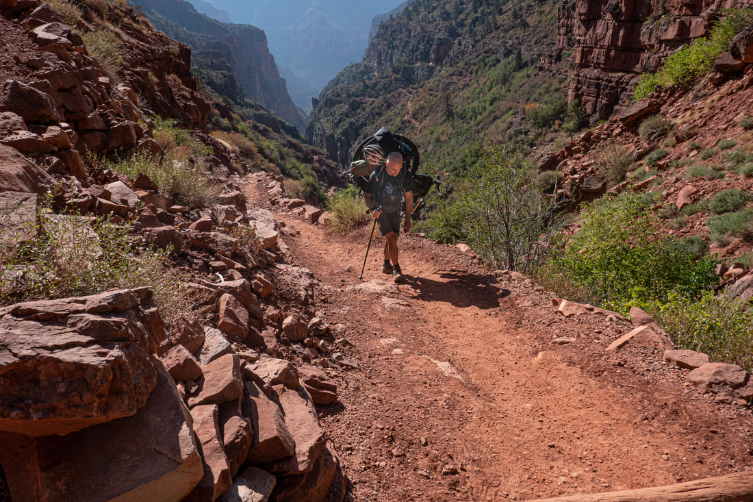
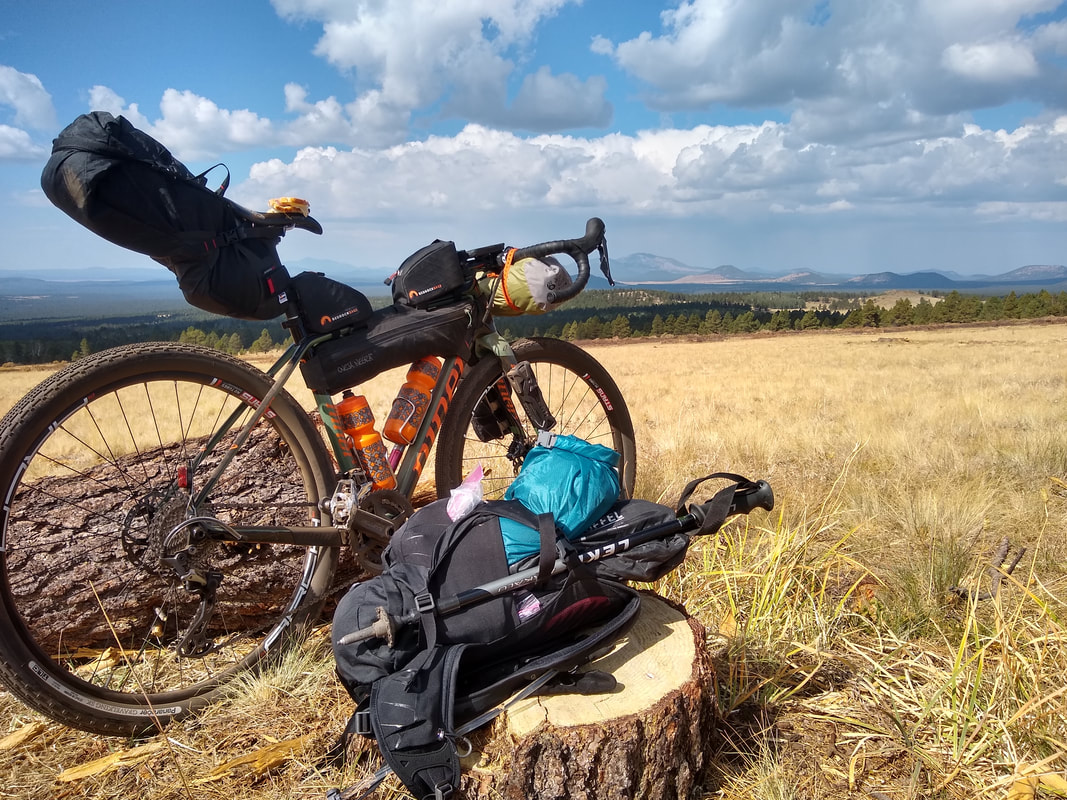
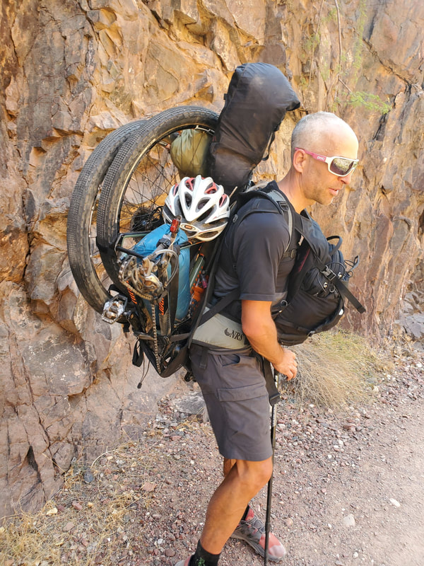
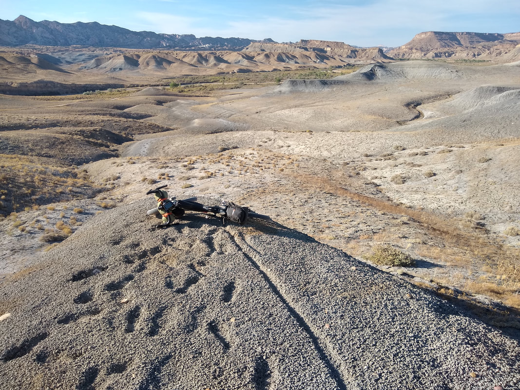
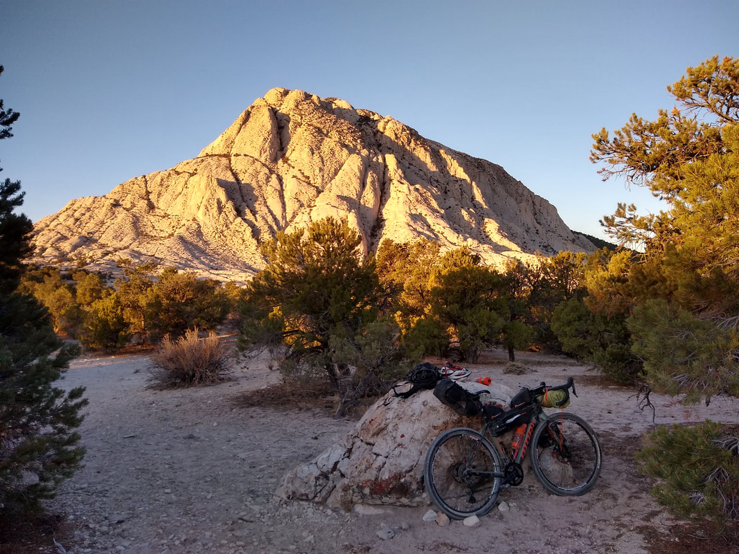
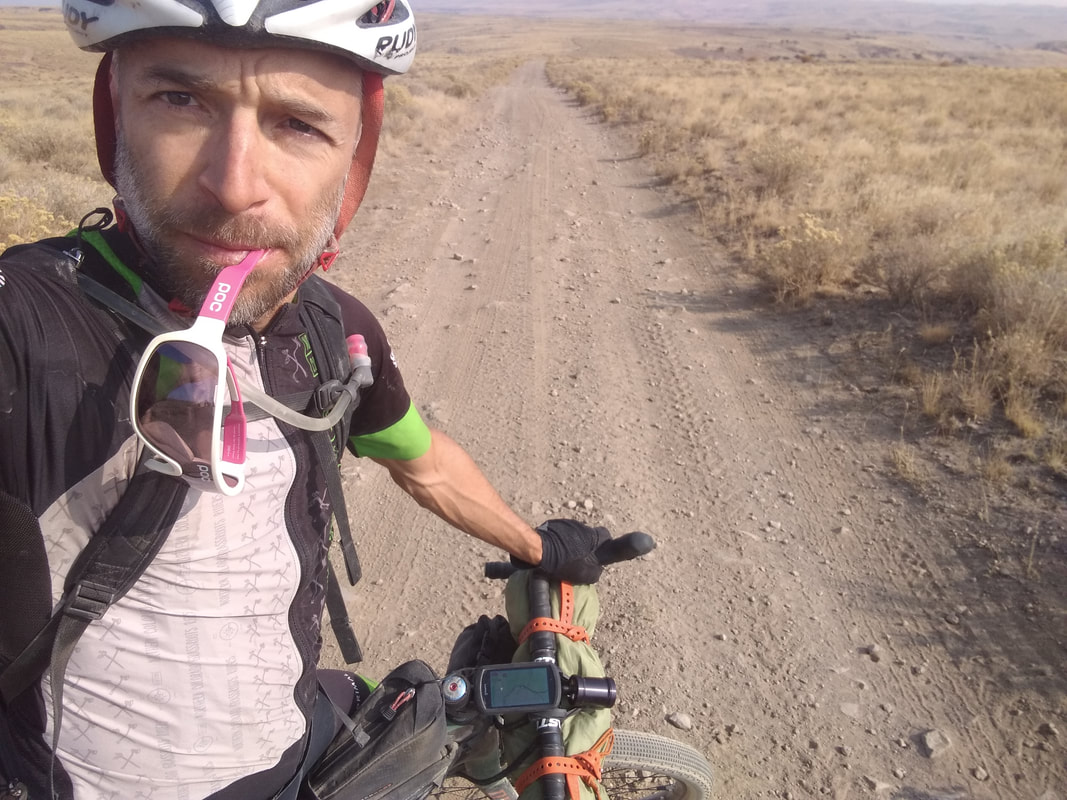
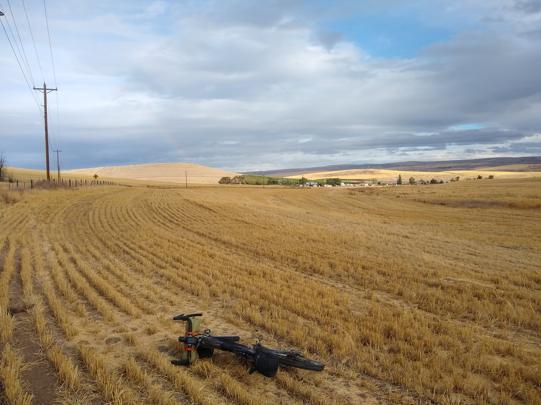
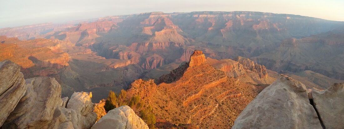
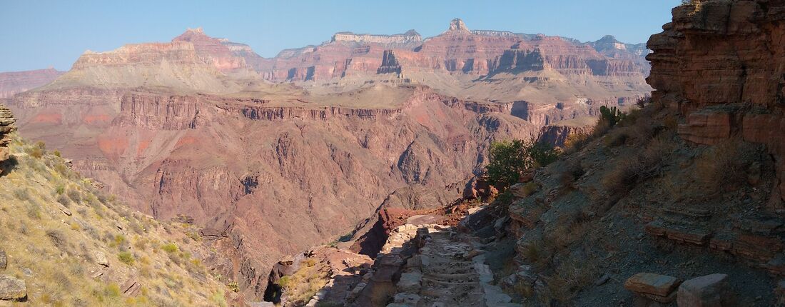
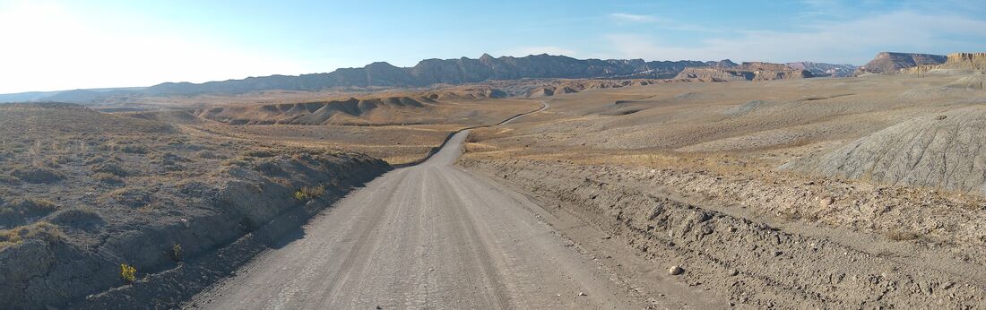
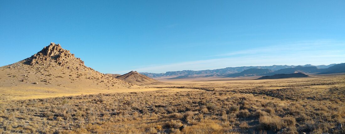
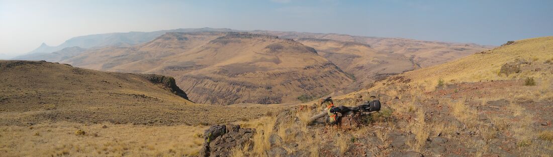
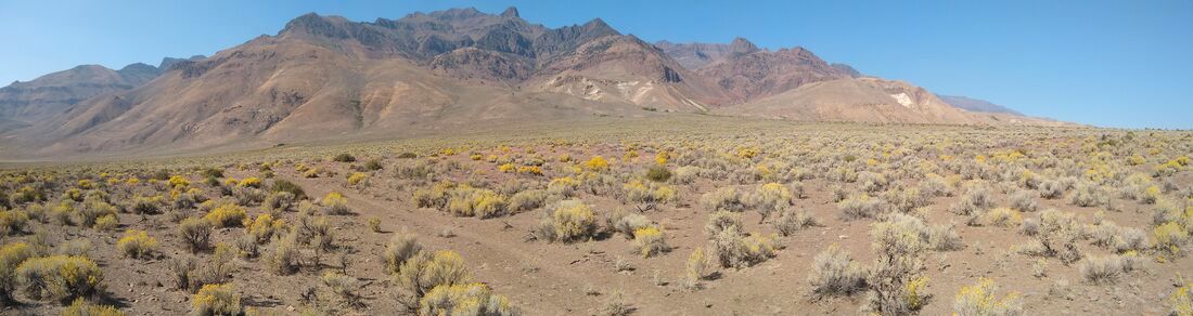
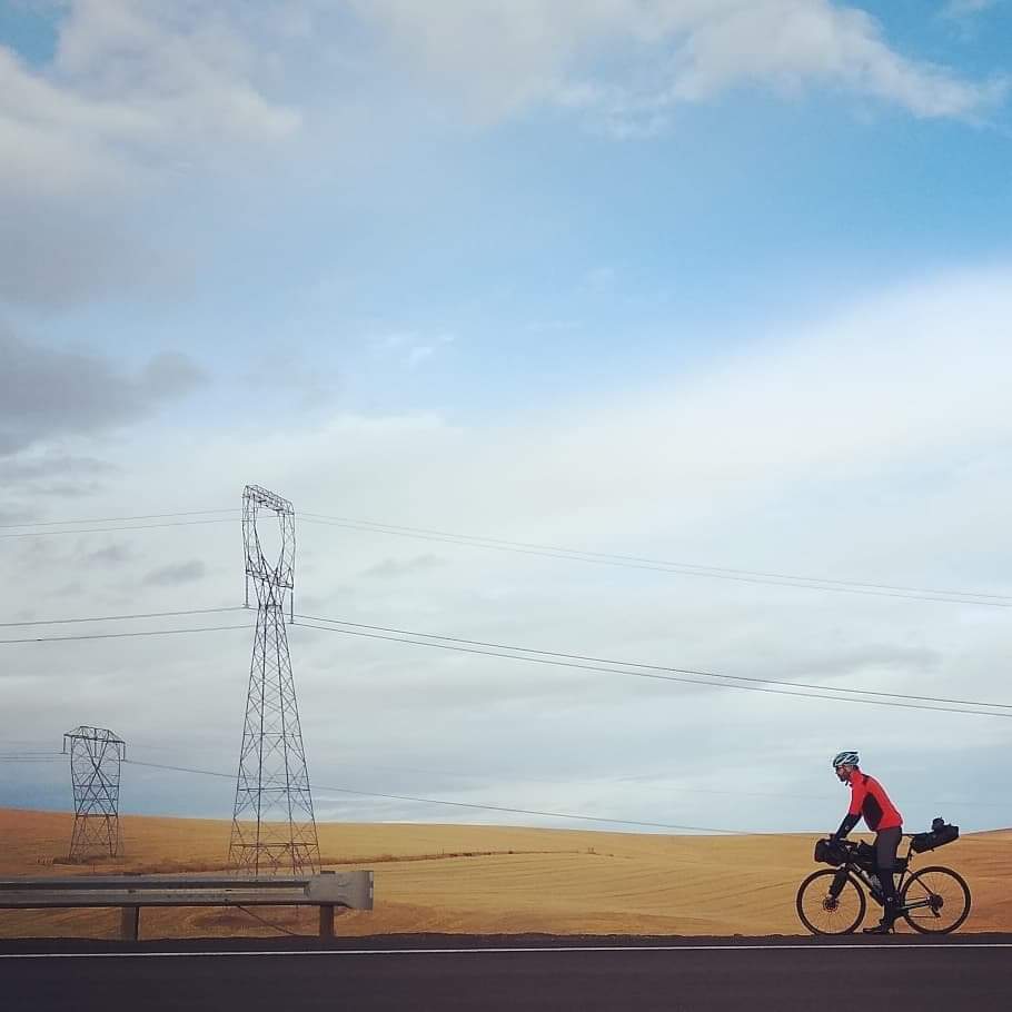
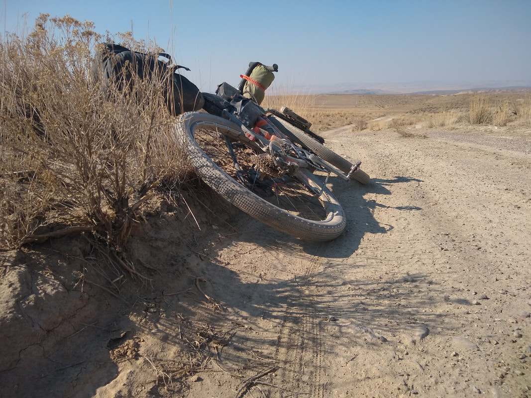
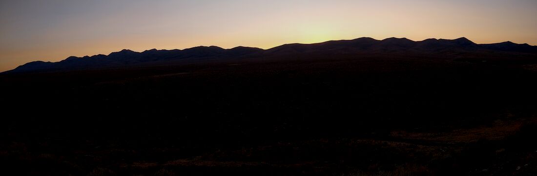
... across grand canyon national park, the great basin, and the Harney basin
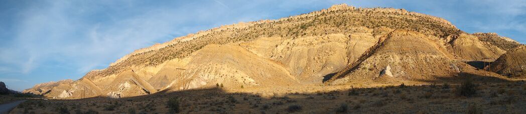
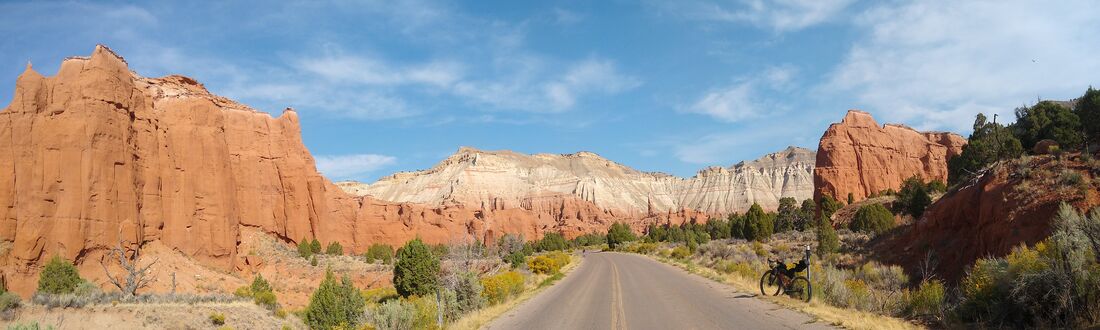
​through arizona, utah, nevada, and oregon in solitude and wilderness.
Picture
Picture
Left: My route from Flagstaff to Portland by trail running shoe (Grand Canyon crossing) and bicycle, 22 days including start and finish dates (22 Sept and 13 Oct). In most cases, colors represent a days journey. Total distance and elevation gained along the route, 1596 miles and 85,000 feet, respectively. Right: A memorable moment, deep into fatigue, as I transitioned from East Steens Road onto Route 78 on my way to Crane, Oregon on the 15th day of the tour.

Le Tour de Région Sauvage: Flagstaff to Portland by Bicycle.

YouTube Videos | Playlist

After many, many hours allocated over several weeks, on 1 Jan 2022 I published a set of 23 videos that tell the story of my Flagstaff to Portland bicycle tour in much more detail than previously published elsewhere including many never-seen-before images. Use this link to visit that playlist on my YouTube Channel.  

Concept: visualizing and assembling the tour

PictureRefueling for the final ascent to Ely, NV.
The initial seed for this tour was a visualization that I replayed in my mind many times after an adventurous friend, Brad Ells, returned, a few years ago, from the Arizona Trail Race and talked about his experiences crossing the Grand Canyon with his mountain bike and gear attached to a backpack.

Proximate to this visualization was another, this one involving a recently popularized, cross-continent gravel route known as the Trans-America Trail (TAT). I first heard about the TAT when someone organized the first-ever gravel bike race across this route, an event that took place just a couple of years ago.

To these remote, scenic, and rugged options for a bicycle, I added the desire to connect to old friends, and not just connect but to spend quality time including the opportunity to share a part of the tour with another rider for the first time, my friend Adam Schwindt.

These three ideas eventually coalesced into one bike tour, an attempt to ride from Flagstaff, Arizona all the way to Portland, Oregon on primarily gravel roads and some single-track. Preliminary calculations suggested the tour would take me about three weeks to complete. Distance and elevation gained would be around 1600 miles and 95,000 feet, respectively.

As I made final preparations to depart Flagstaff, smoke from massive, uncontrolled forest fires in Oregon and California and more proximate challenges, the flames themselves, threatened to affect my route and possibly even conclude the tour well before I reached Portland.


The Route and Highlights: a brief overview

PictureExploring Alvord Desert, a massive dry lake bed most of the year where many land speed records have been set.
On the 22nd of September, 2020, after spending a few quality days and quality time with my friend, mentor, and former supervisor, Loren Buck, I rolled-out of his garage and about an hour later arrived to the Arizona Trail (AZT) below Snowbowl Ski Resort somewhere close to the city limits of Flagstaff.

I navigated the initial section of single-track with another friend, Zach Geiser, before he had to flip it and descend back towards town. Zach is a former teammate from years ago when I was competing at a high-level in the game of floorball.

Beyond Loren, Zach, and Snowbowl, the trail wandered through inspired ponderosa pine forests and aspen groves before descending into a variety of equally impressive and isolated desert habitats, eventually onto gravel roads then back onto single-track, and ultimately to the Kaibab Trail and the south rim of one of Planet Earth's epic masterpieces, the Grand Canyon.

Over the next two days, I crossed the canyon with my bicycle and gear, a total of about 60 lbs, strapped to an NRS pack designed for hauling gear that was generously loaned to me by a friend from Cortez, Colorado, Adam Lederer, an exceptional character, full of courage and curiosity, that I met on a flight from Fairbanks, Alaska where I lived for about five years in my thirties. I spent the evening, between, at Cottonwood Campground above Phantom Ranch on the North Kaibab Trail.

Exhausted but still able to move, though with significant discomfort, once on the north rim and reassembled, I cycled from the North Rim to Jacob Lake, 40 miles, including a handful of miles on the AZT and nearby gravel roads, where I rented a small cabin and tried to recover some of my strength before pressing-on the next day.

The Mangum Fire precluded my planned route to some extent, which I easily revised after being turned-back by a road block in the forest west of Jacob Lake. North of Jacob Lake, I rerouted a second time, onto gravel, to avoid the Pine Hollow Fire and associated ATZ closures (last ten miles to Stateline Campground). Like the original I suspect, my revised routes turned-out to be remote and rugged alternatives to the road most traveled.

I arrived to the Utah border not far from Vermilion Cliffs National Monument which I subsequently rode through on my way to Grand Staircase-Escalante National Monument, Cottonwood Canyon Road, Kodachrome Basin State Park, and Bryce Canyon National Park.

Beyond Bryce, I settled into some long stretches of asphalt road broken by an extensive paved, bike path and smaller sections of gravel. Just before and after, I rode through (all in Utah) Cannonville, Tropic, Panguitch, Beaver, Minersville, Milford, and Black Rock.

The time it took me to arrive to and cross the Grand Canyon was much longer than anticipated. This led to the third of four, on-the-fly modifications to my original route. For these revisions, I respected the original, 3-week window that I'd allocated to the tour. As this implies, timing mattered, for Adam (more below) and also my work schedule.

For my
 third reroute, I decided to ride to Panguitch then north before turning west on Route 20. Route 20 eventually t-boned busy interstate 15 and a moment later a gravel service road. From there, I rode the gravel about 12 miles north to Beaver where I settled into a fabulous, locally owned motel, not long after experiencing my first and only puncture on the tour. My original plan was a longer route, over a mountain top to Paragonah, primarily on gravel.

About 20 miles north of Milford. in Black Rock, Utah, amidst only creosote bush and ravens, I turned left onto loose gravel and the Trans-America Trail (TAT). A few miles down the road, I passed a dual-sport, BMW motorcycle. Otherwise, for the next 24-hours and 80 miles I cycled alone, through a spectacular desert landscape that demanded preparation to avoid the dangers of dehydration.

There wasn't any water to filter, as I suspected, but the 4.2 liter capacity on my body and bike would turn-out to be sufficient, with one exception when I instinctively added a few small water bottles to the outer pockets of my backpack, even for the longest of the remote crossings (no food or water) that I completed on the tour, nearly 110 miles, as long as I kept my pace high (relative to a more typical touring pace) and breathed through my nose as much as possible in the driest sections.

Baker, Nevada was my first refuel and re-water point on the TAT; a town that sits adjacent to Great Basin National Park on "America's loneliest highway", Route 50. From Baker, I continued on to Ely, Eureka, Battle Mountain and McDermitt, all in Nevada. At Baker, a wee outpost surrounded by wilderness, I paused for conversations, spectacular coffee, a burrito and four breakfast sandwiches to go from The Baker's Bean Coffee Cart.

From Black Rock, Utah, across the Great Basin of Nevada, through the Harney Basin to Fields, Oregon, between a minuscule list of exceptionally rural towns that existed on my route, there was only stark, harsh, and secluded basin and range that was, all those observations withstanding, a privilege to explore by bicycle. This part of the tour required 100% self-sufficiency, what I carried from each town had to get me to the next. Crossings through desert wilderness varied from ca. 80-110 miles.

McDermitt was the last refuel stop in Nevada. Soon thereafter, I rolled into Oregon and began the next remote section that would lead me to Fields. This turned-out to be exceptionally rough, primarily because of the hard bedrock in the region, seemingly all basalt. Even the flat sections were riddled with bumps and stones of all sizes.

Tattered from long days and this day in particular, I rolled exhausted into Fields but was soon feeling better as I chit-chatted with curious travelers and ate food from the only market and café in town, the Fields General Store. This was my introduction to the Harney Basin. However, unlike the Great Basin to the south, I wasn't aware of just how remote the Harney was. Off the charts, total wilderness from the perspective of a solo-bloke on a bicycle.

At this stage, due to ongoing fires in Oregon and the Paisley fire in particular, I diverted my original route for a fourth time. Instead of a southwest trajectory on the TAT to California then back into Oregon to Silver Lake, I'd instead ride directly north, departing the TAT at Fields, across 40 miles of rough gravel, past Steens Mountain Wilderness on the left and Alvord Desert, a massive dry lake bed most of the year, on my right.

As anyone knows that's been fortunate enough to visit this area, the juxtaposed and unique assemblage of mountain and desert components results in a spectacular setting. My soul drank as much as it could despite the rough conditions of most of this section, about 40 miles of loose and deeply eroded (washer board) gravel road.

Beyond the gravel, another ca. 10 miles, I arrived to Route 78, hung a left after a memorable (depleted mind and body) food and water stop where by chance strangers came to my aid, and ultimately rode into the dark, 108 miles for the day, to Crystal Crane Hot Springs in Crane, Oregon.

I started very late the next morning, after a proper soak in the facilities palatial pool, and made my way to groceries in Burns then back into the peripheral spaces, the spaces between, where wild critters still dominate, eventually to 6000 feet where I camped for the night inside my own grove of giant ponderosa pines.

Gravel part of the way led me to Paulina (spoken like "Paul-eye-nah") and Post the following day. Beyond Post, which claims to be "the center of Oregon", I closed the gap to Prineville, by this point just inside of the central Oregon bubble and all the usual signs of modern man, noisy machines foremost.

Prineville was nonetheless a treat and Bend was not far, 34 miles on my GPS. I used a combination of mostly asphalt and some gravel to close the gap but not until the following day. At times traffic patterns and speeds were uncomfortable but those conditions didn't last long; each time I was able to escape to a lesser traveled road. I arrived to Bend 18 days after departing Flagstaff, on 9 October.

That evening I was joined by the next friend that would join me on this tour, and for a significant portion, Bend to Portland. Adam and I enjoyed the next morning, coffee, more coffee, food, snacks, more snacks, before finally rolling out at about 1 pm which allowed us to cover 50 miles, to Madres, before we bedded down for the night.

From Madres we rode-on to The Dalles the following day, 95 miles; then another easy, to Cascade Locks; before the final push, 65 miles, to his home in Hillsboro, a suburb of Portland that took us through the heart of the urban space before we were rescued by Forest Park, its sounds, smells, and greenery en route to Hillsboro. Much of what we rode was on the celebrated Columbia River Gorge Historic Highway, some if it splendidly off-limits to autos.

Twenty-two days after departing Flagstaff on 22 September, Adam and I rolled-up to his aged-Toyota and modern, town home and with I officially concluded my 2020 tour, Flagstaff to Portland by Bicycle!

Those are the highlights and a rough outline of the route. I'll be back to fill in detailed chapters over the next few weeks, organized by geographic region including the Grand Canyon, Great Basin, Harney Basin, and Columbia River Gorge.

Curious visitors can view previously uploaded images and videos of the tour on Instagram or Facebook including captions with many more details than I've provided, so far, on my website.

Picture
I made many new friends, a moment before each one of them strangers, on my rim-to-rim hike across the Grand Canyon, and some of them captured images including this one from Allan Leahy. I want to thank all of them for their kindness on the trail, their curiosity, and of course all of the images that they subsequently sent to me! Each one is a treasure. In this image, I'm ascending the North Kaibab Trail on 24 Sept 2020, the third day of the tour.

Chapter by Chapter Details: organized by geographic region

Picture

Chapter 1: San Francisco Peaks

Coming soon ...
Picture
Image courtesy of Shauna Eccles.

Chapter 2: Grand Canyon

Coming soon ...
Picture

Chapter 3: Grand Staircase-Escalante

Coming soon ...
Picture

Chapter 4: Great Basin

Coming soon ...
Picture

Chapter 5: Harney Basin

Coming soon ...
Picture

Chapter 6: Columbia River Gorge

Coming soon ...

Picture
Behold and be inspired, for this is, after all, one of Planet Earth's most spectacular achievements, the Grand Canyon!
Picture
Another moment to convene with my overwhelmed senses, to observe and be grateful, this beautiful national park.
Picture
Cottonwood Canyon Road, a long stretch of gravel that is impassable when wet (due to sticky clay soils) between (new) Paria, Utah and Kodachrome Basin State Park.
Picture
One of many stunning vistas available on either side of Cottonwood Canyon Road.
Picture
Kodachrome Basin State Park, outside of Cannonville, Utah and just north of Cottonwood Canyon Road.
Picture
One of the opening scenes on the Trans-America Trail not far west of Black Rock, Utah.
Picture
The remote Harney Basin between McDermitt, NV and Fields, OR.
Picture
Steens Mountain Wilderness, East Steens Road, Oregon.
Picture
The Columbia River gorge viewed from the former, primary, east to west highway 30.
Picture
A new touring whip is born at Brave New Wheel in Fort Collins, Colorado.
Picture
Approaching Hood River and the Columbia River Gorge on Rt 197.
Picture
A typical scene and gravel road, somewhere in the remote Great Basin of Nevada.
Picture
A moment after concluding the tour, in Hillsboro, Oregon on 13 Oct 2020.
Picture
Many more images and complete chapters coming soon. Please check back from time to time for updates.

Quick Links

Home​​
About
Friends
Lifestyle Coach
Adventure Guide
Mentor, Speaker

Le Tour de Europe
Going Full Tilt
Flagstaff to Portland
Podcasts
Training Camps
Touring, Racing
Bike Shops
Training Peaks & Strava
​My Road to Leadville
​
The Beginning
Contact
© COPYRIGHT 2021. ALL RIGHTS RESERVED. 
  • Home
  • About
  • Services
    • Lifestyle Coach >
      • Coaching
      • Two Week Challenge
    • Adventure Guide
    • Guest Speaker
    • Mentor
  • Friends
  • Travelogues
    • Europa 360
    • Connecting My Grandfathers
    • Le Tour de Région Sauvage
    • Le Tour de Europe >
      • Gear List
      • In the Media
      • Podcasts
      • Concept, Intro, Chapters
    • Going Full Tilt
    • 7 Countries in 16 Days
  • Racing
  • Photo Gallery
  • More...
    • Touring History
    • Training Camps
    • Training Peaks & Strava
    • My Road To Leadville
    • Bike Shops
    • The Beginning
    • Contact
    • Archives >
      • Blog
      • Bikes, Components, Gear, Nutrition