|
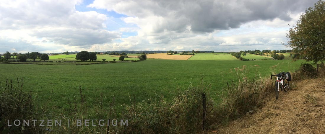
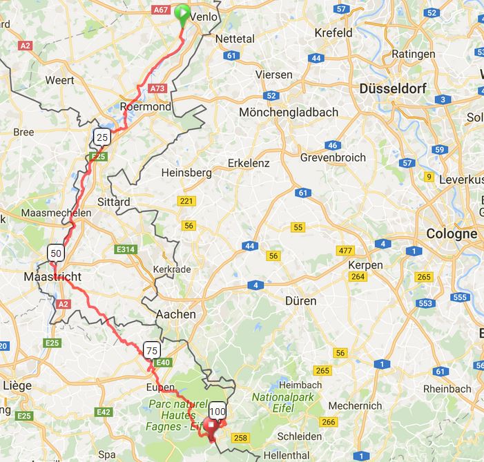
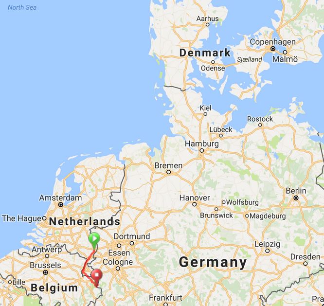
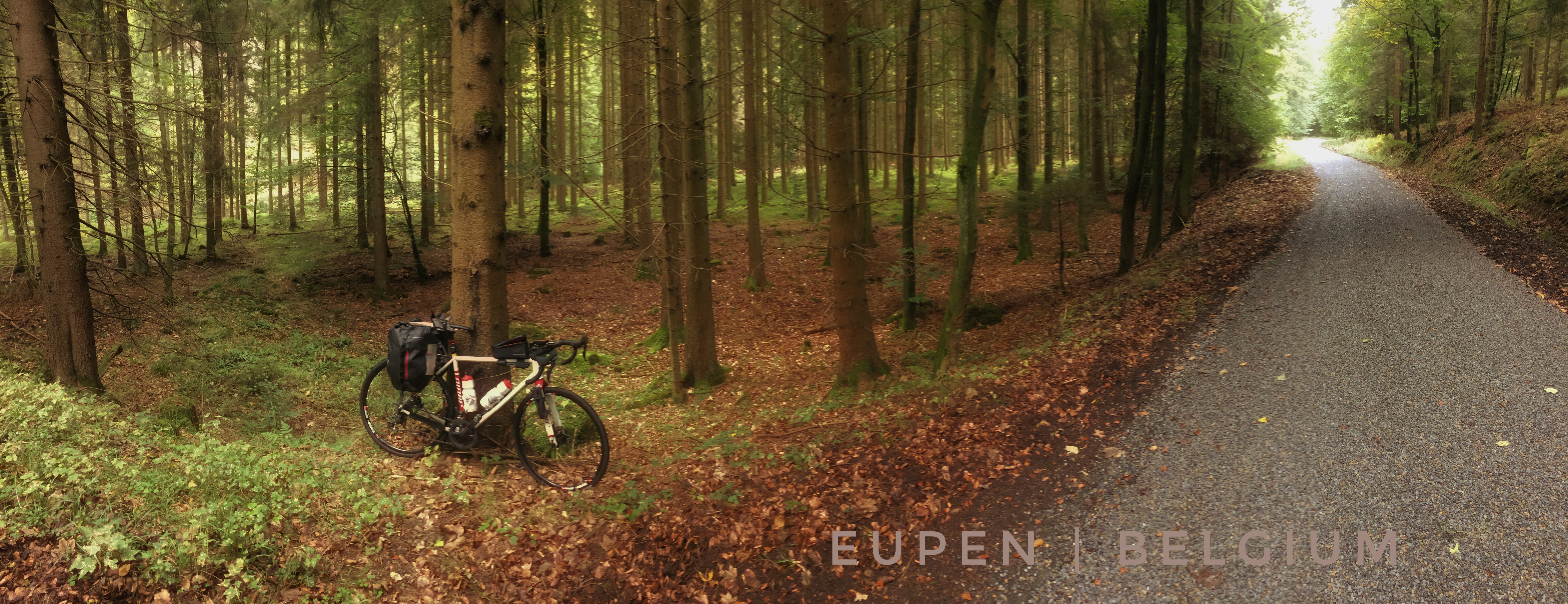
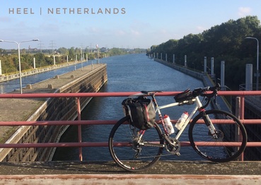
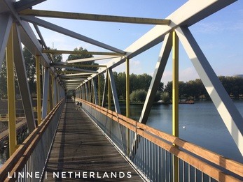
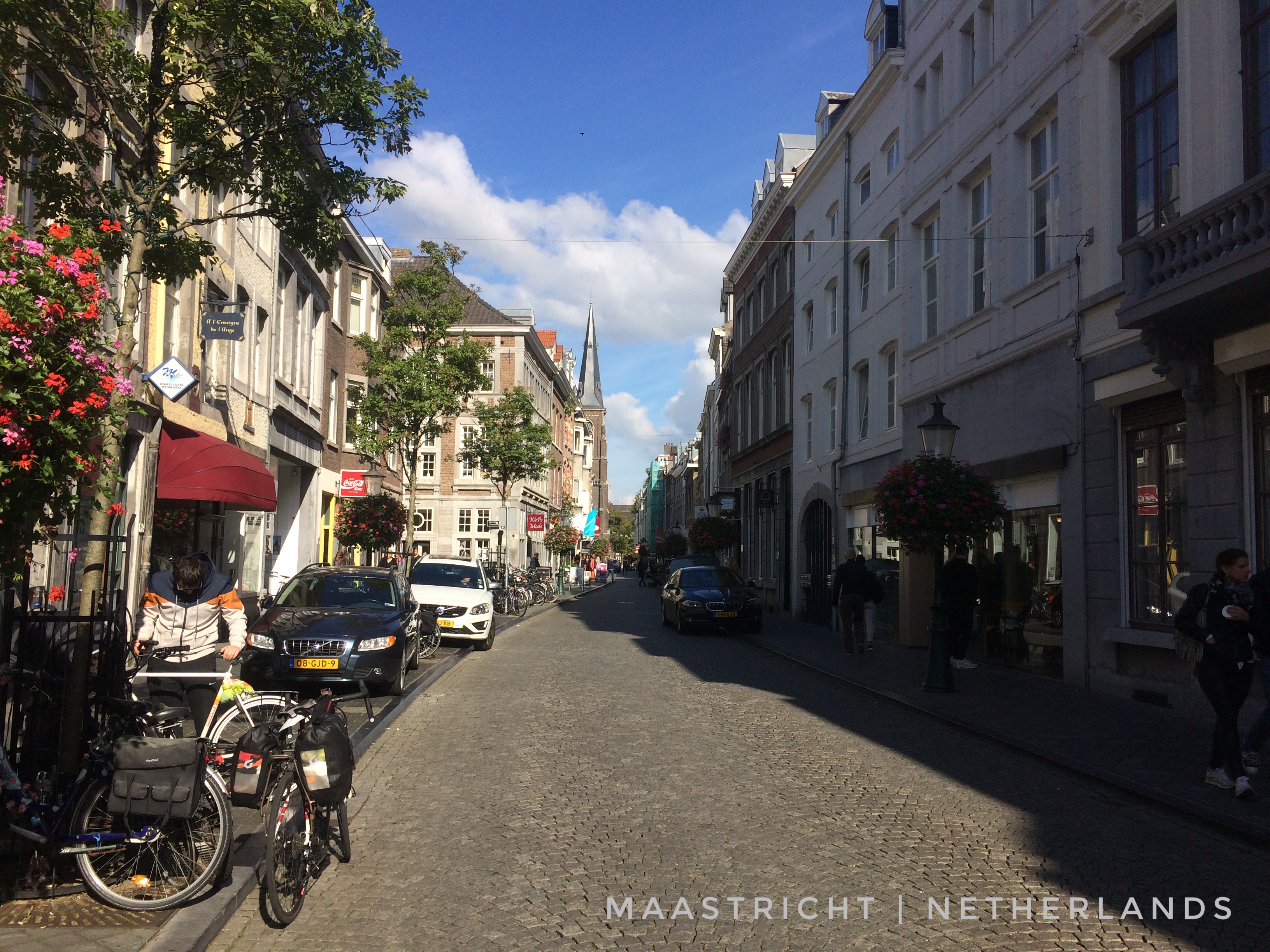
Morning route: https://www.strava.com/activities/737896721 Afternoon: https://www.strava.com/activities/738370814 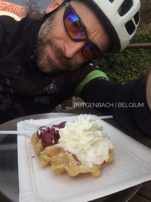 It was a treasure trove of adventure today as I made my way south through the Netherlands, never far from the German border and often only a few kilometers or less on either side of the border with Belgium. Because of that proximity, I added a new country to my life list before noon unbeknownst to me until perhaps the third or fourth crossing when I finally detected an EU border marker on the roadside - a circle of yellow stars around the country name on a blue background. My primary guide and companion this morning was Holland's system of interconnected canals, an efficient means of making one's way across the countryside, with few hills and fast, smooth, surfaces. It wasn't unusual, when the wind was behind me and it often was, to be comfortably spinning at 20-24 mph, about 32-38 kph, despite a bike and gear weighing-in at ca. 48 lbs (22 kg). Crossing the region on a carbon fiber bicycle with no gear and a tail wind would no doubt result in a pace worthy of envy! At Maastricht, essentially the very south of the Netherlands, about the half-way point for today's ride, and close to "the moment when the sun transits the celestial meridian" (Solar Noon, note the origins of the abbreviations, am and pm), I reunited with the River Meuse (Maas in Dutch) that I first encountered, on a ferry crossing, at Broekhuizen, late on day three as I approached the vllage of Baarlo. The River Meuse crosses a wide swath of Europe from it's origins on the Langres plateau not far from Dijon, France, and Geneva, Switzerland (foot of the Alps), to Drimmelen in the Netherlands where it enters the North Sea adjacent to the Rhine. Given it's proximity to the Rhine, running with it in parallel for hundreds of kilometers before both rivers turn left at Nijmegen, Netherlands, towards the Nordsee, it must be worthy of a "geological oddity" that the lesser known Meuse was never captured, over Planet Earth's recent geologic history, by the more famous, and larger, Rhine. A drive from Venlo, not far from Baarlo just inside of the Netherlands on the border with Germany, heading east to the Rhine at Düsseldorf requires just 1 hr 15 minutes to cover roughly 70 kilometers (44 miles). Along the way, based on the last three days of riding, I would anticipate that much of the countryside is flat, agricultural land, with remnant forest patches and small villages filling the spaces between. No doubt there is an interesting geological story behind how two rivers, each navigable well inside of the European continent, came to be so close but never touch across a space that seems to lack any significant geological obstructions. I hope to return to the area on another trip and discover more about its geological history including the evolution of the parallel Meuse-Rhine watersheds during the Pleistocene (aka, "ice age", previous 2,588,000 to 11,700 years) and Holocene (most recent 11,700 years) epochs. Not long after leaving the historcally significant city of Maastricht, I was beginning to get hints of the celebrated, picturesque and scenic, Ardennes, "a region of extensive forests, rough terrain, rolling hills and ridges formed by the geological features of the Ardennes mountain range and the Moselle and Meuse River basins". The arrival of the hilly and often steep Ardennes, including grades over 18%, was a singificant shock to my system after riding across a nearly pan-flat landscape for three days at relatively high speed. Not long before the real climbing began, I stopped for a brief lunch and took a few minutes to catch-up with Clarissa back in Hamburg. It's perhaps worth noting, here, that prior to departing Hamburg I replaced the US-based (Verizon) SIM card in my iPhone 5 with a card from the European carrier O2. Along with the card, I purchased a cellular data plan that crossed borders for about 40 Euro (when I returned from my trip O2 extended my plan for just 20 Euro per month). The data plan provided more than enough, seven gigabytes, to comfortably, no concern about going over my limit, perform all of the functions that I needed or desired in all of the countries that I would eventually visit on this trip. Those included searching for lodging using AirBnB, updating Facebook, and checking email among many other digital conveniences. I want to thank my friends back in Fort Collins, Colorado, Mitch Wood and Tori Royle, for giving me their lightly used iPhone 5 and mophie (hard protective case and battery), a very generous gift under any scenario. But given my social nature and the fact that I was riding solo for many hours every day, their gift contributed in a very big way, convenience and entertainment, to the tour. Certainly bagging lodging for 25-50 Euro after 4-pm each night would have been nearly impossible without the their gift, and there wouldn't have been day-to-day Facebook updates including photographs! Life is all about the here and now it seems, despite distractions. The Ardennes lived-up to reputation, delivering one hill after another through a scenic and beautiful landscape, often dominated by agricultural but sometimes by extensive forest. It was within one of those forest sections that two surprises were awaiting my arrival: 1) the longest climb of the day (ultimately, the longest of the trip); and 2) a friendship with a local rider named Tom that, like the Dutch and Belgians I'd met elsewhere, spoke clear, well practiced, English. After making our introduction and part-way up the climb, Tom pointed to the west, at just above eye-level, and said "that's the highest point in Belgium, about 700 meters." We were, at that time, pedaling through the forests of Parc naturel Hautes Fagnes-Eifel and Tom was pointing at Signal de Bortrange. Among the many historical and natural features of this Parc naturel is a unique microclimate and endemic subalpine flora and fauna community known locally as the High Fens, "The High Fens which were declared a nature reserve in 1957, are an upland area, a plateau region in the province of Liège, in the east of Belgium and adjoining parts of Germany, between the Ardennes and the Eifel highlands. The High Fens are the largest nature reserve or park in Belgium, with an area of 4,501.2 hectares (11,123 acres); it lies within the German-Belgian natural park Hohes Venn-Eifel (700 square kilometres (270 sq mi)), in the Ardennes. Its highest point, at 694 metres (2,277 ft) above sea level, is the Signal de Botrange near Eupen, and also the highest point in Belgium. The reserve is a rich ecological endowment of Belgium covered with alpine sphagnum raised bogs (not "fens" as the name would imply) both on the plateau and in the valley basin; the bogs, which are over 10,000 years old, with their unique subalpine flora, fauna and microclimate, are key to the conservation work of the park." As Tom and I were preparing to depart, and not long after enjoying a Belgian waffle together not far from Eupen, Tom encouraged me to visit Monschau, Germany before I left the area and it was excellent advice. A village on a small creek, castles above, medieval history all around, cobble stone roads and walkways, I discovered old Europe on a large scale despite the modest size of the village. If you're ever in this area don't miss the opportunity to visit this very much off the beaten path and historic village and adjacent region. Among the regions contributions to history we can include scenes from the Battle of the Bulge. a famous attempt by Nazi Germany late in WWII to break through the Allied forces and recover some of their losses including Monschau: "Adolf Hitler first officially outlined his surprise counter-offensive to his astonished generals on September 16, 1944. The assault's ambitious goal was to pierce the thinly held lines of the U.S. First Army between Monschau and Wasserbillig with Army Group B ... by the end of the first day, get the armor through the Ardennes by the end of the second day, reach the Meuse between Liège and Dinant by the third day, and seize Antwerp and the western bank of the Schelde estuary by the fourth day."
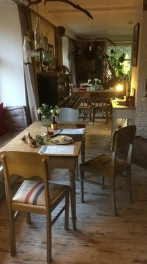
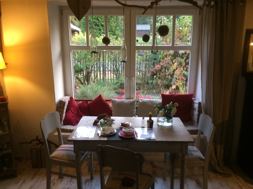
The sum of my little adventure through the Ardennes, roughly half (50 miles, 80 km) of my ride for the day, delivered a respectable (Colorado standards) 4500 feet of climbing (Strava links above and the elevation chart below provide more details). Just as the sun was dipping over the last hill and the temperature was simultaneously plummeting, I managed to secure a room for the night at Carmen's Lé Cafe and BnB in Küchelscheid, Belgium. The village and cafe are so close to Germany that a person could possibly throw a baseball over the border, and the equivalent of a home run, hit towards the east, would certainly land in Deutchland. Belgian's often adopt their border language, and Küchelscheid is no exception. Carmen and others in the village speak fluent German, their preferred language. I doubt it will be 25-30$, but I'm also living a cycle touring dream and I wouldn't want to spoil that. Instead, I had two beers this evening, paired with a home cooked meal made by Carmen, to celebrate a wonderful day on two wheels. In anticipation of an adventureous day five, I bid you a Guten Nacht, this evening, from Küchelsheid, "a [wee little] village in the municipality of Bütgenbach in Eastern Belgium with [an impresive] 74 inhabitants (2014 [census])", and an Auf Wiedersehen until tomorrow. Comments are closed.
|
�
André BretonAdventure Guide, Mentor, Lifestyle Coach, Consultant, Endurance Athlete Categories
All
Archives
March 2021
|
Quick Links |
© COPYRIGHT 2021. ALL RIGHTS RESERVED.
|


 RSS Feed