Europe Tour | Autumn 2016 | Day 9
13 October 2016
Today's Route: https://www.strava.com/activities/743349153
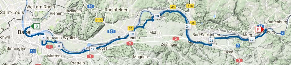
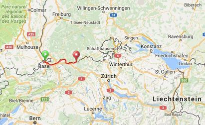
Each day unfolds as it wishes, and this morning was no exception. The day unfolded slowly starting with four Illy Espressos made in the kitchen a few meters from my room (the room cost $41). My slow pace was motivated by the cold, likely the coldest morning so far, just 2.8°C (37°F) at 9 am; by the weather forecast, windy and overcast with rain possible throughout the day; and the stage of the trip, 1,333 kilometers (833 miles) in my legs since leaving Hamburg at the conclusion of yesterday, day eight. For this suite of reasons, I departed Srdjan's, a Serbian from Belgrade, at a few minutes after 10! The air was cold and thick with moisture from the night before, my glasses easily fogged up if I wasn't careful, and my nose ran like the Rhine.
As I implied, I wasn't sure where I was going when I rolled onto the tram tracks in front of the building containing Srdjan's flat, except for the first mile, a short section of bike trail that I could easily see on my OpenFietsMap base layer. If you own a GPS and are not aware of these open-source maps, then I recommend checking them out for cycling in Europe. The cycle route detail is exceptional and, so far, 100% accurate. Much of my freelancing through the countryside would have been much more difficult, led to regrettable route choices, without these free maps. The base layer was so helpful that I made a donation to the open-source effort shortly after returning to Hamburg.
Despite the weather, drizzle, cold, thick cloud cover, and a light wind, my planned mile serendipitously included a fascinating ride through old Basel starting with the "middle bridge", das Mittlere Brücke or Mittlere Rheinbrücke, in the German language spoken by native Baslers: "The Mittlere Brücke is the oldest crossing of the Rhine in Basel. The first bridge in this [location] was built in the first half of the 13th century." The original stone bridge, renovated many times throughout history of course, was replaced by an iron bridge in 1903 which remains to this day.
Digging into a bit of history associated with this bridge led to some challenging translations, but enough of the details to get a sense of a shockingly morbid past: "The [stone] bridge ... served [throughout medieval history] as a [place for conducting executions] ... the death sentence was [typically] carried out by drowning ... child-murderers, adulteresses and thieves [were] thrown into the river on their hands and feet. If they were still alive ... at ... Thomasturm, which is about 800 meters away, ... the then border, the ... death penalty was [dropped] and [they were] banished ... from the city instead. Resuscitation measures for the drowned ... had been known and spread throughout Europe since the early modern age. For this reason, too many condemned survived, so that drowning was replaced by beheading in 1634. [In] another form of [execution carried out from the stone bridge the convict was] tied up and [tethered] to [the bridge], the convict [was then] flooded three times under the bridge."
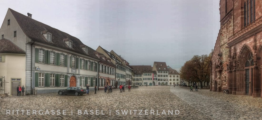
After pausing, midway across the Mittlere Brücke, for a few photos, I covered the short distance to the opposite bank of the Rhine and, after missing the turn the first time around, turned back and made a hard right and was then immediately faced with a steep, 18%-plus climb on a narrow cobblestone track. At this point, it was clear that I'd entered a popular tourist area; some were off their bikes, pushing towards the summit, a few more were chatting as they sauntered, hands-free up or down the Rittergasse. At the top of the short climb, I encountered a common feature of old European towns and villages, a constantly flowing water spigot with a bathtub-like pool below the spout. I dodged the few tourists that happened to be sharing the less-than-ideal weather day with me, added another horrible suite of photos to my morning collection, and rode on, to my surprise, to the historical Rathaus ("council house") and Marktplatz.
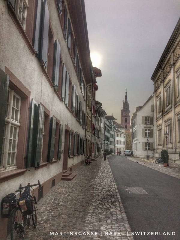
The council house dates "from the 16th century ... and is decorated with fine murals on the outer walls and on the walls of the inner court." The marketplace, including the Rathaus, conjured up an image of bygone days, when beggars and guilds were the norm and religion was the source of all knowledge. After exiting the Marktplatz, I soon found myself descending a narrow, slippery, cobble-surfaced road back to the river. Along the way, I cycled past many more picturesque scenes of old Europe, including a stream that descended via a series of man-made waterfalls between houses down to the Rhine. All told, from the bridge to the descent, most of an hour, I enjoyed a wondrous mile. But it seems that everything comes with a cost, as it was in this case, because at the end of my serendipitous tour of old Basel I entered a very different scene, what we might call "modern" Basel.
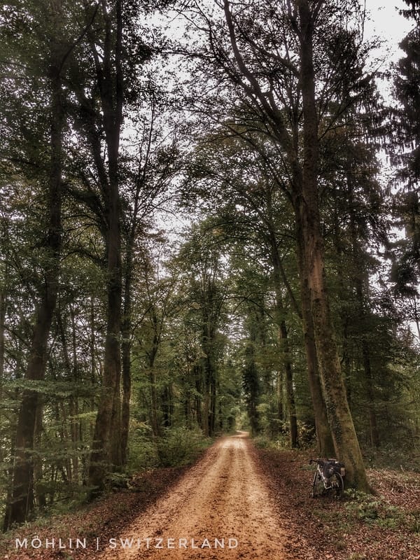
Industrial, smelly, trafficked, without cycle lanes or even much of a road shoulder, a place where lorries make the rules and cyclists focus on breathing and staying alive. It was quite a shock for a naive visitor from North America that was carrying with him images of a storybook land, including clean water, the smell of forests in the air, green hills, and the majestic Alps in the background. At the time, as I struggled to find an alternative route, each time returning to the main road and the traffic, I thought this was going to persist for much longer. But after roughly an hour, and following a few false starts on sections of, what turned out to be, short dirt tracks through the forest, I eventually found a dirt cycle route (one-lane road) along the river that went on for many kilometers. And it was worth the wait. I was not deep within the forest, in reality, but it felt that way and that's all that mattered as it allowed me to come down from an overaroused state of mind. That short ride through industrial Switzerland ultimately led me to fond memories of natural landscapes, the river and the forest, shags and other bird life commuting over the Rhine, images for reflection when I am old and withered.
What I tolerated through "modern" Basel and adjacent communities is an example of something I've reflected on a few times on this trip: mistakes are not necessarily a bad thing, like choosing a route through industrial Switzerland; they can instead, if you allow them time to mature, lead to a serendipitous conclusion. Today, I considered ending my short ride through Switzerland early, crossing the river and turning north into Germany, but instead I persisted. The result was beautiful vistas along the Rhine and at the conclusion of my day, a place to explore and sleep in one of the prettiest villages I've been lucky enough to visit. My mistake was an awful route from about mile three to fifteen. But it worked out well, very well. I'm planning to make more mistakes tomorrow!
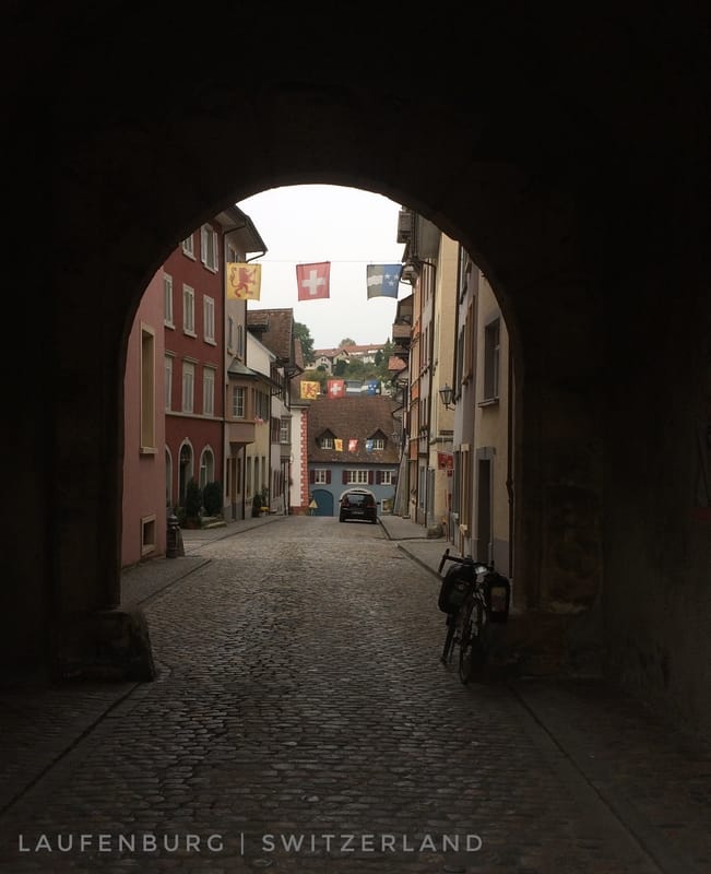
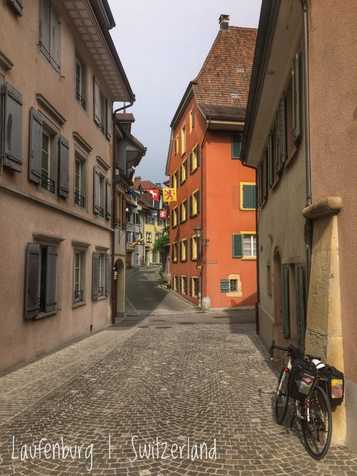
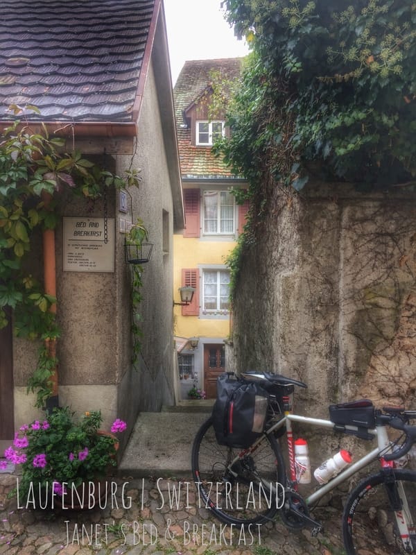
For my short day, and in celebration of reaching the southern extent of my little tour, shortly after rolling into Laufenburg I went to another restaurant! That's two in two days, after none the previous seven days. And wow, so good, so good. Salad, pasta, and more. Plus an alcoholfrei beer. Prost! After lunch-dinner I asked the restaurateur about lodging and she knew of a host two doors down on the same little cobbled street in Laufenburg, Switzerland. A moment later she was off the phone and I had the last room for about 50 Euro. I'm living a privileged life this evening.
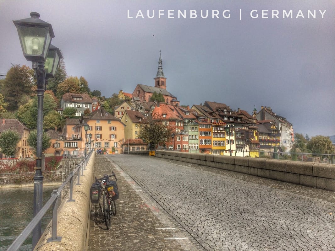
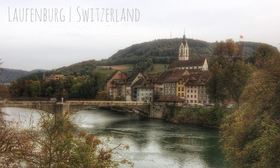
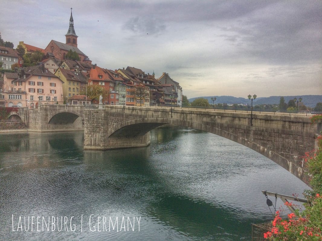
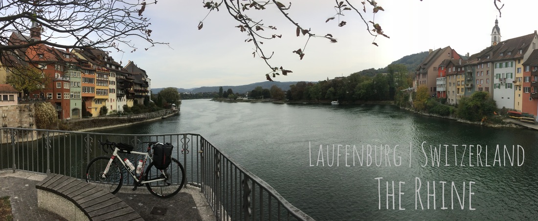
Before I close I want to share some of the history of the twin villages of Laufenburg, a village split by the Rhine and overseen by two countries, Germany on the north bank and Switzerland on the south with a car-excluded bridge between them: "This strange situation dates back to the Napoleonic wars. Before that, both sides of the Rhine were Austrian territory. The former Austrian province was divided in two along the Rhine, the north Bank going to the Duchy of Baden, and the south bank to the Kanton of Aargau. Ever since then there have been two Laufenburgs." As the images, below, demonstrate, the villages offer, in their architecture and their placement on either bank of the Rhine, a storybook scene worthy of my North American naiveté. The German village of Laufenburg was first noted in 1207.
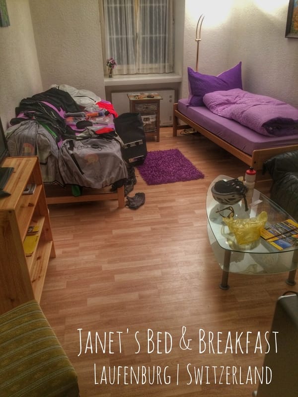
Despite by far my shortest distance in nine days, it has nonetheless been a tough day at times, wind and cold, trucks, noise, and the smells of industry. But the result, the here and now that it all led to, is my own private Wonderland. I'll smile into sleep and look for more rabbit holes in the morning. Until then, I bid you Gute Nacht from Janet's beautiful Bed & Breakfast on the south bank of the Rhine, where in 1792 the French Revolutionary Army established its base camp.